Cadastral Surveying
Sunrise Surveying provides a variety of cadastral surveying services to support land development and commercial projects. As an experienced cadastral surveyor, we can capture powerful data to support planning, construction and engineering works of any scale.
Commercial Cadastral Surveying Services
Cadastral surveys are used to locate and mark the exact boundaries of a property. This information is critical during construction, engineering and land development projects. Most councils require an up-to-date survey as part of your Development Application (DA), and Sunrise Surveying can ensure you have the data you need.
The team at Sunrise Surveying provides cadastral survey services for commercial projects of all sizes. Whether you are subdividing a single block or planning a large-scale residential or commercial development, we can provide the information you need to make more effective decisions.
Land Development Survey Services
Sunrise Surveying uses state-of-the-art equipment to provide high quality data that allows you to deliver projects on time and on budget. Our experienced team is equipped to survey commercial properties of all shapes and sizes, so we can tailor a land development survey for any requirement. You can find out more about our commercial cadastral survey services below, or enquire today to book a consultation.
Property Boundary Surveys
The expert team at Sunrise Surveying is ready to support your next project with an extensive range of cadastral and boundary surveys. Our surveys are ideal for new construction projects, property subdivisions, land developments and pre-design planning.
We tailor our services to provide the information you need, such as:
- Identification surveys
- Strata subdivision surveys
- Freehold and torrens subdivision surveys
- Reconfiguration of Lot (ROL) surveys
- Easement surveys
- Pre-design surveys
As part of our cadastral surveys, our team will conduct a full investigation into the current and potential uses of your land. This includes researching encumbrances and easements that may interfere with your development plans.
This is done through a combination of historical research and field investigations that allow us to find and mark the exact corners, layout, features and boundary of your property.
Detail Surveys for Development Applications
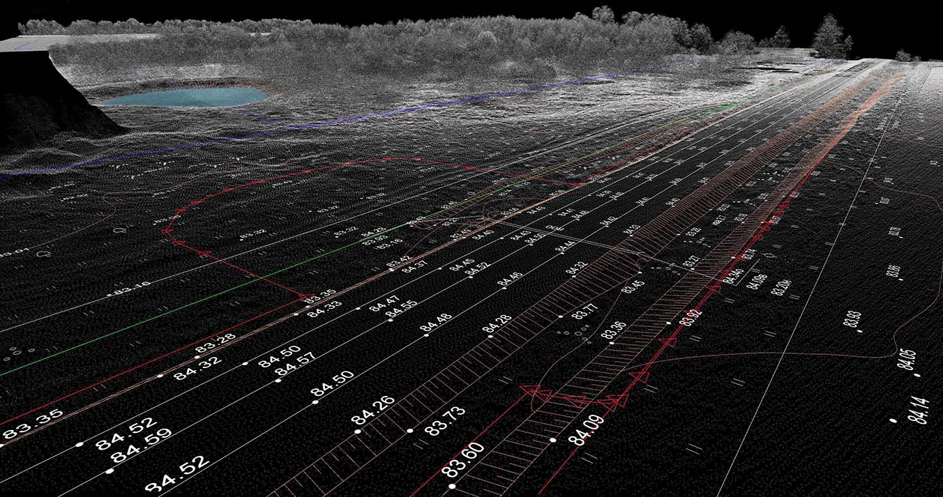
Detail surveys – commonly called contour and feature surveys – are used to identify and record the terrain and major features of a property. This gives you a full picture of the land, allowing you to create designs, estimate earthworks schedules and create accurate plans showing the location and layout of the property. Detail surveys are typically required when lodging a Development Application.
Our detail surveys can be used to identify features such as:
- Topography and terrain
- Trees and major vegetation
- Utility runs
- Neighbouring properties and buildings
- Existing structures
- Improvements on the property
- Retaining walls and fences
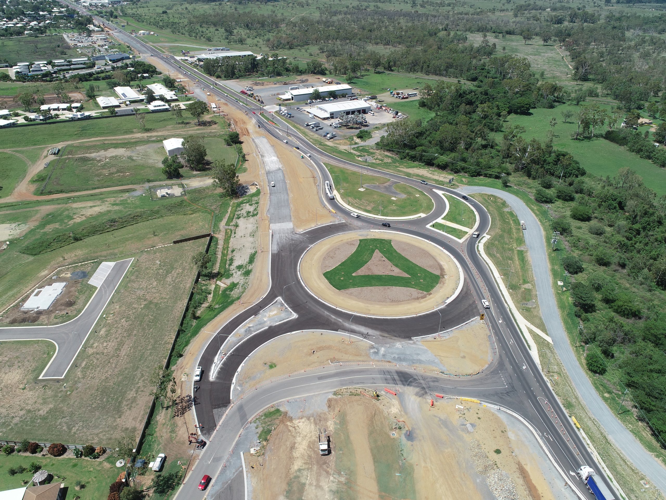
Our commercial cadastral surveys record and map every feature of your property. This supports project planning, new construction and land development works.
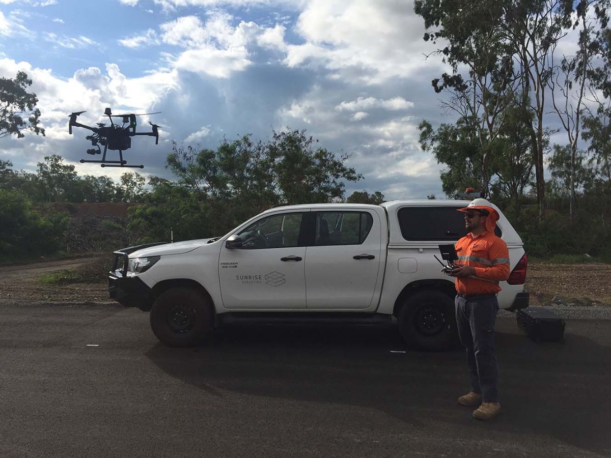
To ensure the accuracy of our surveys, we use state-of-the-art measuring equipment and aerial drones. These systems deliver precise data that you can rely on when designing projects, developing materials schedules and lodging development applications.
Construction and Engineering Surveys
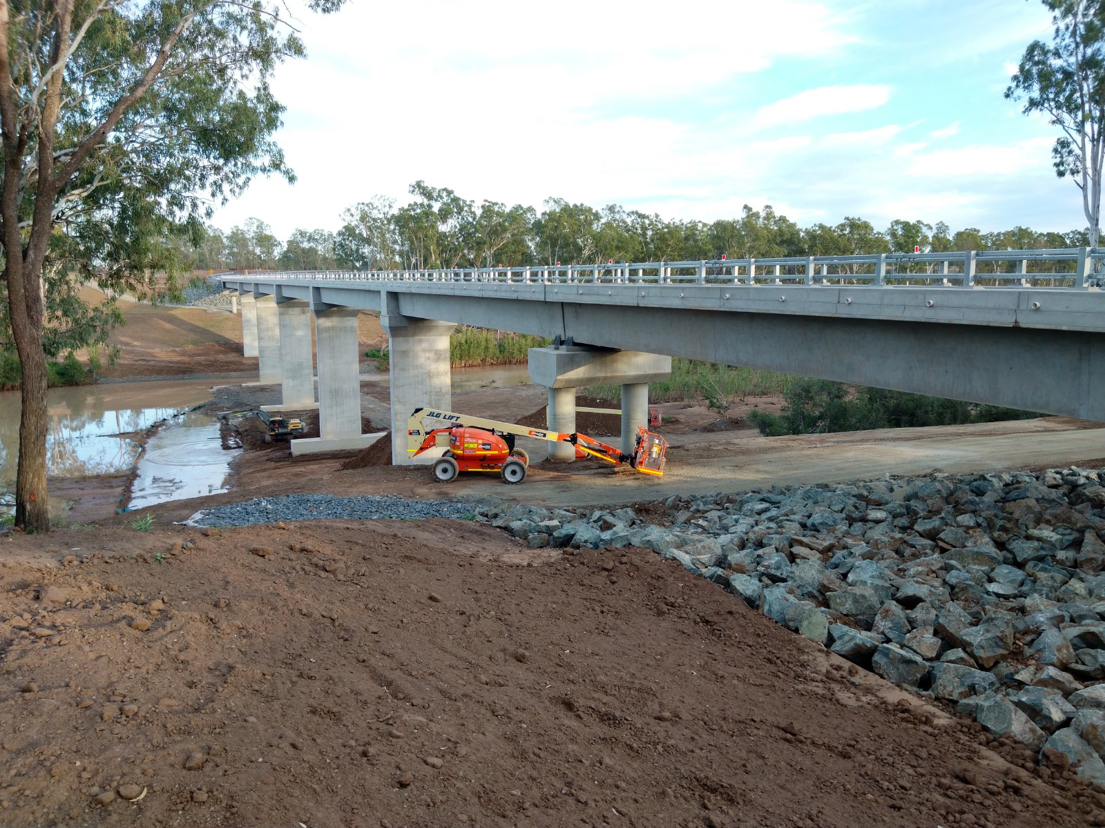
Cadastral surveying is a central part of commercial construction and engineering projects. A cadastral survey by our team allows you to plan works, execute construction and verify that each element meets engineering standards.
We provide construction and engineering surveys that support every stage of your next project, including:
- Site establishment and benchmarking
- Building set-out surveys
- Site monitoring
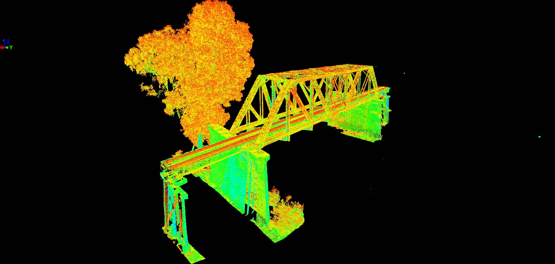
- Building modelling
- Utility and service location surveys
- Engineering set-out surveys
- As-constructed/ADAC surveys
As a cadastral surveyor Toowoomba wide, providing accurate survey information is our highest priority. The quality of our cadastral survey data means it’s ideal for construction and engineering applications at any scale. If you need to work to strict tolerances, we can provide data that supports and verifies your work with millimetre-accuracy.
Enquire Today
Contact our team today to talk about your project and how we can assist.
Strata Subdivision Surveys
Is subdividing your land is a great way to maximise a single property. Sunrise Surveying provides cadastral surveying services that can support subdivision projects of every size. Whether you are splitting a residential block in two, or dividing commercial land for a major development, cadastral surveying our data can help you utilise a property to the fullest.
We offer survey services for both types of subdivision projects:
- Strata subdivision surveys. Strata subdivision divides a single property into multiple titles. Strata subdivision allows you to construct duplexes, townhouses and villas and provide individual titles for each property.
- Torrens subdivision surveys. In some cases, small properties may not be suitable for a strata subdivision. If that’s the case, we can provide survey data to support torrens subdivision that allows for multiple dwellings to be built under a single title.
Subdividing a property typically comes with stringent planning requirements. To help you navigate the system, Sunrise Surveying will work with you to develop a cadastral survey that shows all the relevant information.
As a cadastral surveyor Rockhampton wide, we’re familiar with local council requirements throughout Queensland, so we can support any land development application and provide the detail you need.
