Boundary Surveying Services
Our residential boundary survey and cadastral surveying services provide powerful data that can support any works you have in mind. As an established residential property surveyor, Sunrise Surveying delivers the information you need for construction, renovation and development projects.
Boundary Surveying for Residential Construction
A boundary survey – also called a Cadastral Survey – is used to locate and mark the exact corners and boundaries of a property. Boundary surveys are commonly used during construction, renovation and residential development projects, but they can also be used to resolve issues such as property line disputes.
The team at Sunrise Surveying offers expert property boundary survey services for a wide variety of residential clients. Our boundary surveys provide the data you need to plan your work, obtain approvals, make decisions and complete your projects on time. Whether it’s a small renovation or a major housing development, our residential boundary surveying can support you from start to finish.
Boundary Surveying Services
Sunrise Surveying is committed to providing a superior service that allows you to achieve the best results possible. With an experienced team and state-of-the-art equipment at our fingertips, we can tailor a boundary survey for every requirement. You can read more about our boundary and cadastral surveying services below, or speak to our team to book a consultation for a boundary survey.
Property Boundary Surveys
Sunrise Surveying provides a comprehensive range of cadastral and boundary survey services. Whether you are planning a new construction, major development or minor renovation, we can make sure your land is utilised to its full potential.
Our team can tailor a property boundary survey for:
- Identification surveys
- Land subdivisions and Reconfiguration of Lot (ROL) surveys.
- Easement surveys
- Lease surveys
- Pre-design surveys
Our boundary surveys include a full investigation of the current use and any encumbrances your land may be subject to. As a surveyor Yeppoon wide, we do this using a mix of historical research and field investigations that can find and mark the exact corners, layout, features and boundary lines of your property. Our land survey services gives you a complete picture of your land and allows you to plan construction, renovation and improvements with confidence.
Contour and Feature Surveys
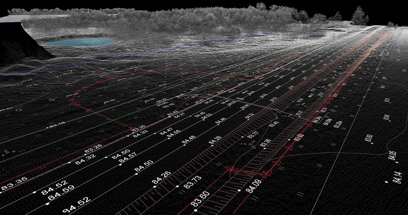
The Sunrise team provides a range of boundary surveying services, including contour, terrain and feature mapping. Along with our boundary surveys, contour and feature surveys can be used to develop an exact plan showing the location and layout of your property.
We use contour and feature surveys to identify:
- Topography and terrain
- Vegetation
- Utility locations
- Details of neighbouring properties and buildings
- Existing structures and improvements on the property
- Features such as retaining walls and fences
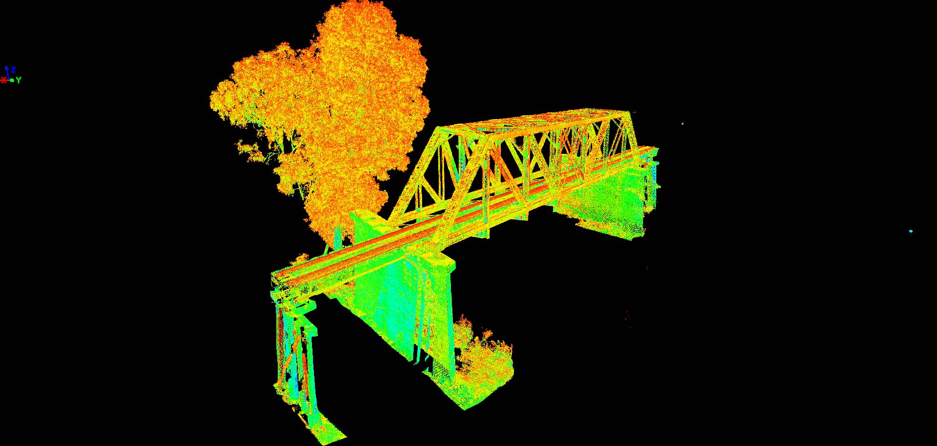
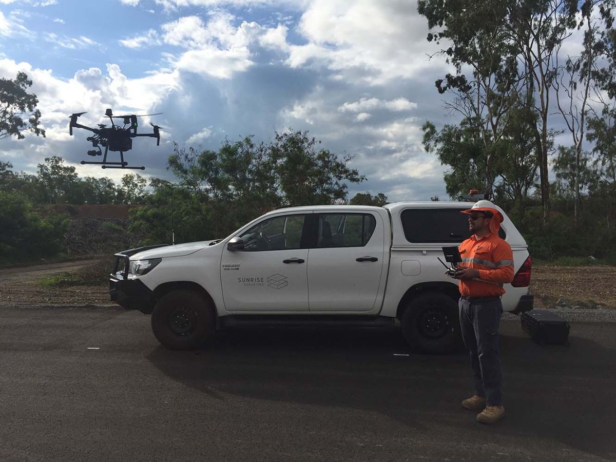
While performing your property boundary survey, Sunrise Surveying records and maps every feature, which helps with planning new construction and improvements to the property. This is done using state-of-the-art-equipment and aerial drones which are used as part of our aerial survey services. Our boundary surveying equipment not only delivers accurate results, it means we can provide services for everything from individual blocks to major developments and large acreage estates.
Construction and Engineering Surveys
Boundary surveying is an important part of planning construction and renovation projects. But, boundary surveys also provide useful support during the engineering, construction and completion of a development.
The Sunrise Surveyor Brisbane team provides construction and engineering survey services for every stage of your work, including:
- Site establishment and benchmarking
- Building set-out surveys
- Site monitoring
- Building modelling
- Utility and service location surveys
- Engineering set-out surveys
- As-constructed/ADAC surveys
When it comes to boundary surveying, our experienced team focuses on delivering accurate results. The quality of our boundary surveys means it’s perfectly suited for engineering applications and verifying completed work.
Enquire Today
Contact our team today to talk about your project and how we can assist.
Why You Need a Boundary Survey
Investing in a boundary survey is one of the most important things you can do as a property owner. A boundary survey provides a snapshot of your property and can uncover the exact property lines, easements, features and encumbrances.
This data is critical when planning a construction or renovation project, but it’s also useful when buying or selling the property. A professional boundary survey ensures you always have that information at your fingertips. No matter what you’re planning, a boundary survey can save you time and money, and it allows you to make more effective decisions along the way.
Who Can Perform a Boundary Survey?
Boundary surveys can only be conducted by trained professionals in a land surveyor company that are licensed by the Surveyors Board of Queensland. Holding a licence ensures the results of a survey are accurate and binding, which is important if you need to resolve a dispute or plan a project. Additionally, licensed surveyors are able to obtain insurance that protects you, your property and their team from unnecessary harm. Before engaging boundary surveyors we always recommend that you ask to see licence information and current insurance details.
