
Working with a cadastral surveyor is one of the best things you can do to ensure your next project comes off without a hitch. A surveyor is specially equipped to assess a parcel of land, locate the exact corners, and provide the information you need to get started.
The information coming from a surveyor is provided in the form of a survey plan. This plan details the corners, boundaries, utilities, structures, major vegetation and other features of the property. While this information is crucial to the construction process, understanding a detailed survey isn’t always simple.
In this article, we will discuss what cadastral survey marks are, how they’re used, and some of the marks you can expect to find once a survey has been completed.
What are Survey Marks?
Survey marks are permanent or temporary markings used to indicate points of interest on a parcel of land. A surveyor may place a marker to show things such as:
- Property corners
- Boundary lines
- Utility runs
- Building and utility set out
- Easements
- Fences and retaining walls
- Other features
Where temporary markers are used, survey marks are typically called “cadastral survey marks”. These marks help with the construction of homes, buildings, fences, retaining walls and infrastructure like roads and utilities.
On the other hand, permanent survey marks often serve as a point of reference on the parcel of land. These permanent marks have a known location that can be used to place further markings.
Permanent survey marks and cadastral survey marks are important reference points that should not be moved without approval. If you are carrying out construction, earthworks, landscaping or other projects that may disturb cadastral survey marks, consider engaging a land surveyor. A surveyor will be able to assess an area and relocate marks or reference points that could be disturbed by your project.
What are Boundary Marks?
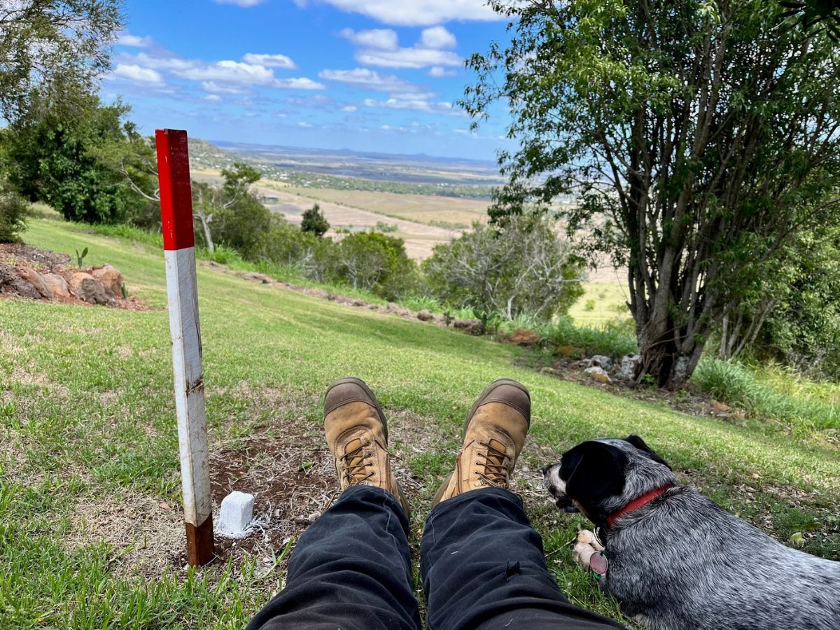
While surveyors may use any type of mark to indicate points of interest on a property, boundary marks are those specifically used to locate the corners of a parcel of land. Most surveyors use wooden cadastral pegs to mark the corners of a property. The pegs are painted white, although the top may be painted a different colour to make the pegs more visible and/or to clarify the intention of the marking.
If wooden pegs aren’t suitable for a particular boundary point (e.g. if the corner lands on a concrete slab), surveyors may use brightly coloured flagging tape, screws, nails or durable concrete markings.
It’s important to note that boundary marks may be placed at an offset to the actual location of the property’s corner. You will need to use a property boundary survey to understand the true location and intention of each marking.
Types of Survey and Boundary Markers
Surveyors use a wide range of markers to locate corners, boundaries and points of interest. Some of the most common markers include:
- Wooden pegs. These are often painted white to improve visibility. The tops may be painted in a contrasting colour, and pegs can also include numbering that corresponds to the survey plan.
- Plastic pegs. Plastic pegs consist of a steel pin that is driven into the ground and then fitted with a coloured plastic cap.
- Nails and screws. Surveyors may use nails or screws driven into pegs, fences, trees or other landmarks to indicate a boundary point. Nails and screws are usually combined with brightly coloured ribbon or paint to improve visibility.
- Concrete nails. Concrete nails are durable survey markings that are typically used as a point of reference that won’t be easily disturbed by things such as construction activity. These markers can be used time and again for tasks like locating property corners, construction set out and validation.
- Brass plaques. Designed as permanent survey marks, brass plaques are stamped with a unique number that corresponds to the survey plan. They are permanently fixed in place using concrete.
- Iron pickets. Star-shaped iron pickets may be hammered into the ground to indicate points of interest. These markings are durable and obvious, and they may be paired with paint or reflective markings to improve visibility.
- Paint marks. Paint marks are only used for non-permanent cadastral survey marks. These are often found spray painted onto the ground, grass or concrete during construction projects.
Always consult your survey plan to find out what each marking means. Markers may be accompanied by larger, more obvious finder stakes. Finder stakes are only used to increase visibility and do not indicate the actual location of property corners, permanent reference marks, or other points of interest.

Get Ready for Your Next Project with a Cadastral Survey by Sunrise Surveying!
Cadastral surveys are an indispensable tool for all types of residential and commercial projects. Whether you’re renovating your home or building a new shopping centre, Sunrise Surveying can provide the data you need.
Sunrise Surveying tackles projects throughout Brisbane, Toowoomba, Rockhampton and Yeppoon. We work with clients of every size on all types of projects, providing high quality cadastral surveying services you can rely on. Our team is equipped with state of the art surveying tools that allow us to place permanent and temporary marks. If you need to mark property boundaries, locate utilities or set out a new project, Sunrise Surveying can help.
Get in touch with us to find out more, or make an appointment with our team today!